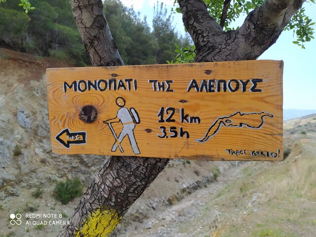
The Fox Trail
- Starting Point: Triadi 153m
- Ending Point: Triadi 153m
- Distance: 11.1km
- Elevation Gain: 591m
- Elevation Loss: 591m
- Hiking Time: 3 hours
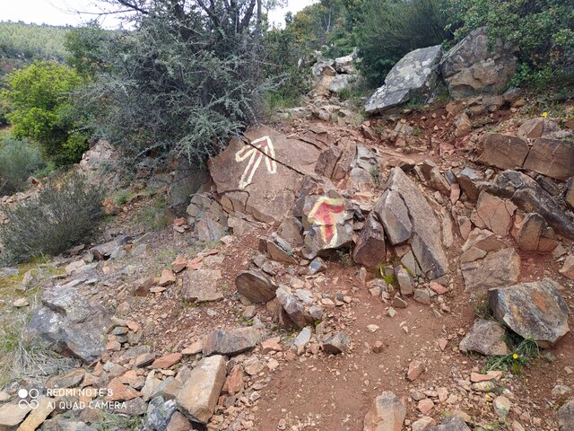
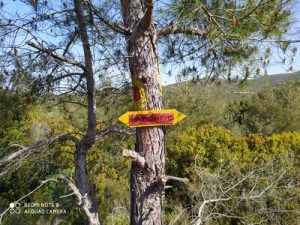
- Marking:Very good (red-yellow signs)
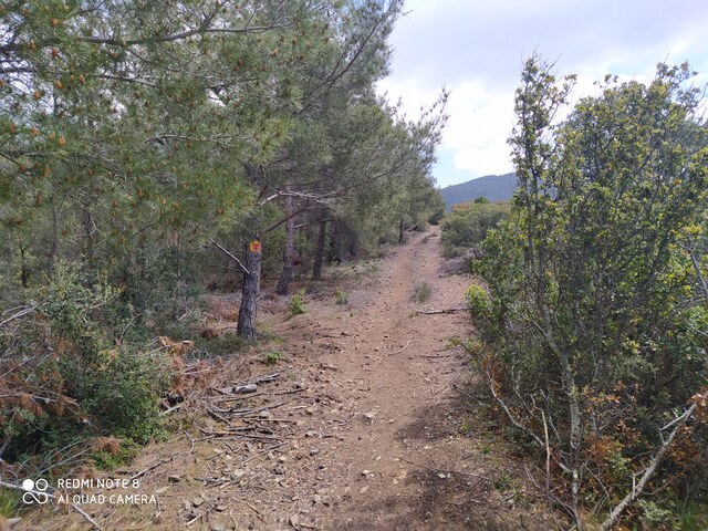
- Unmade road: 3km, path: 8.1km
Route Description
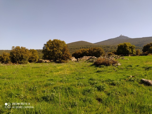
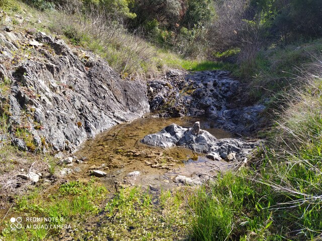
The Fox Trail is a cyclical route, starting from Triadi village. The path passes also from Mersinouda ruins. During the route we move on unmade road, firebreak, paths and gullies.
Until we reach the Triadi Lake, the first 1800 meters are unmade road.
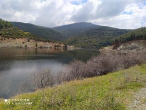
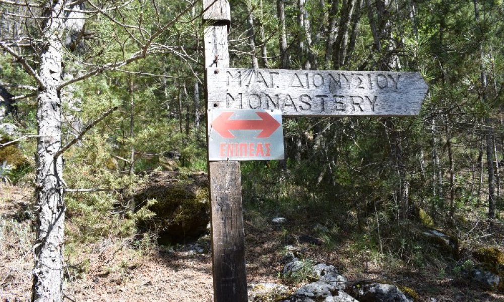
As soon as we reach the lake, we turn right where we meet a sign, informing us about the Fox Trail. The trail has been cleaned and signed by a hiking group in Thessaloniki, Trace Your Eco.
After hiking arounf the lake we meet signs to start ascending. From this point and about 2.5km till Mersinouda ruins the ascent is steep and needs good physical condition.
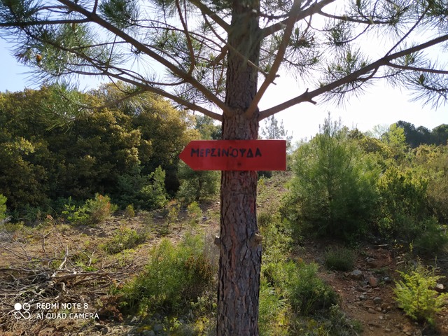
After the diversion to see Mersinouda ruins, we hike back on the unmade road for about 500 meters, where we turn left to the path. For about 1.5km we move on the path until we reach an unmade road. The road after 1km drives us back to the lake.
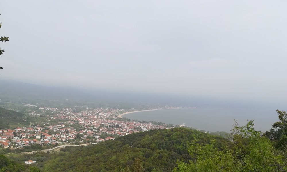
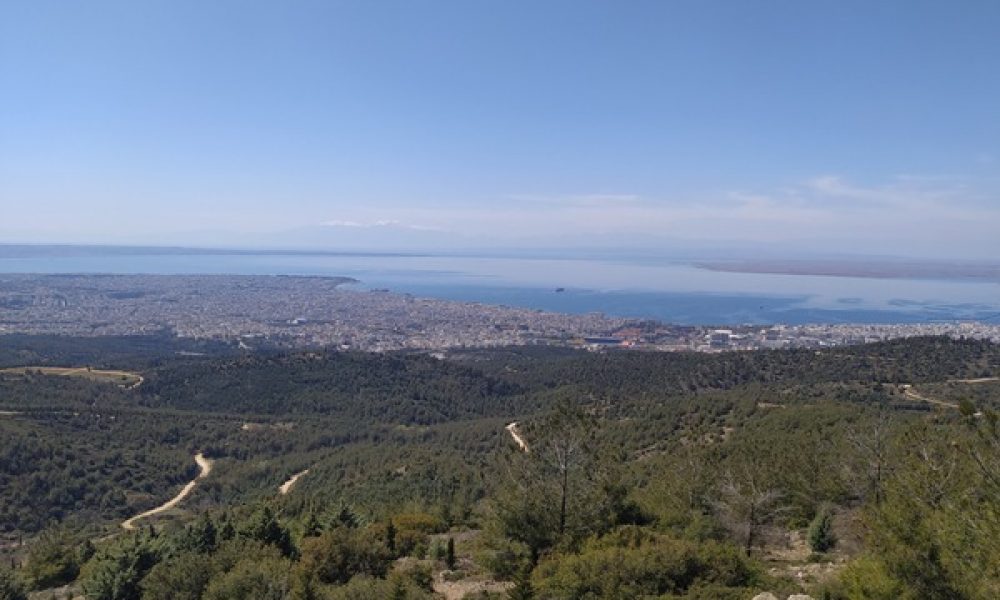
As soon as we reach the lake, we can turn to the starting point from the road we followed initially, or we can turn to the right. After turning right, we hike up to the hill, walking on a firebreak. Descending the firebreak we can see Thermaikos gulf and Olympus in the background.


See our hiking tour in Chortiatis