- Starting point: Flabouri Shelter: 1,158m
- Finish: Mesiano Nero 1,092m
- Distance: 3 km
- Elevation gain: 99m
- Elevation loss: 134m
- Time: 1 hour
- Marking: quite good
 Route Description
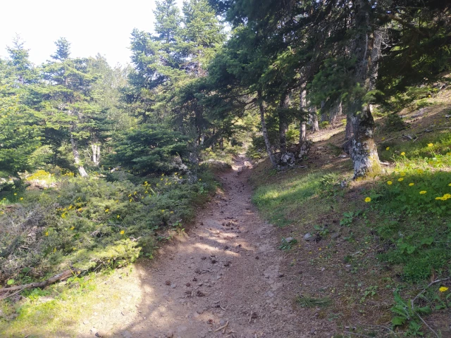
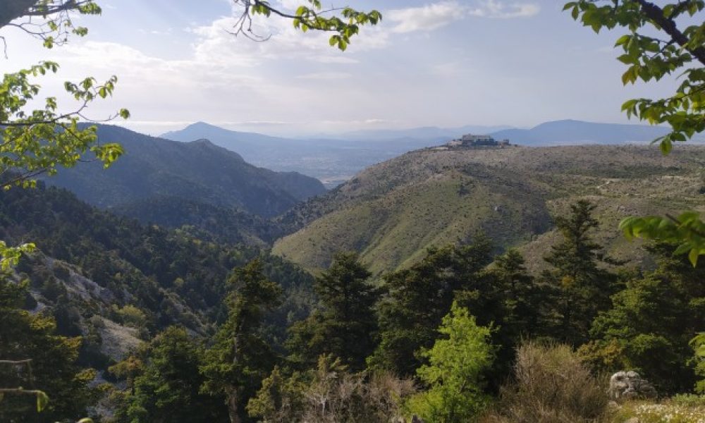
Out route starts from the Flabouri shelter in Parnitha at an altitude of 1,158m and ends at Mesiano Nero site at an altitude of 1,092m. The hike takes place on a very well-marked trail through a dense fir forest. Flabouri shelter is 40 km from Athens and about 1 hour by car.
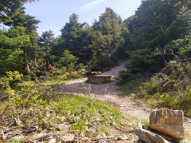
Starting from the north side of Flabouri shelter following the purple signs on a downhill path we reach after about 400 meters the location Kyra spring.
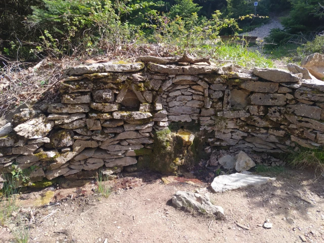
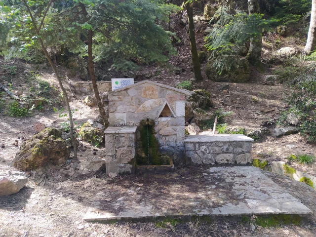
Leaving the spring behind us, we head east where after 300 meters we meet a dirt road. We turn left and follow the dirt road for 500 meters until we meet a path on the left. We enter the path and after a few meters we reach Koromilia spring.
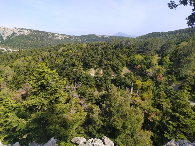
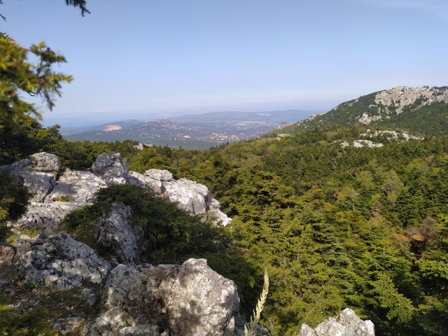
Continuing northeast on the path, arriving after 1.5 km at the Mesiano Nero location. Here we can rest in the gazebos and enjoy the view of the Euboean Gulf and the forest of Parnitha.