- Starting point: Elatos 1,200m
- Finish: Mporlero Peak 2,017m
- Distance: 3.2 km
- Elevation gain: 824m
- Elevation loss: 5m
- Time: 2 hours
- Marking: Fairly good (red – yellow marks) – K1 path
Route Description
The starting point of the hike starts from the small church of Kosmas Aitolos which is located in the Elatos village in Agrafa and is about 7km from Belokomytis. The path is maintained by Karditsa HMA and for our ascent to Mporlero we will follow the K1 path, which is part of the route Belokomytis – Mporlero peak – Elatos.
A few meters before the first house of the village of Elatos there is a fountain with cool water where we can fill our bottles before starting the hike.


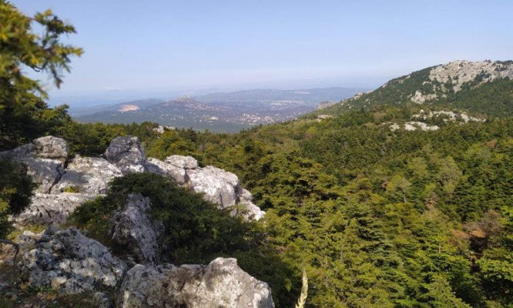
In the first half of the hike we follow a south-southeast route through a beautiful fir forest, we cross ravines under the shadow of Mporlero peak.


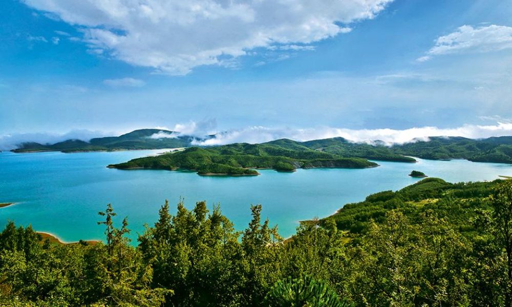
After we have covered half the route, we come out on the ridge above and we follow a southwest course for 1.5 km with Plastiras Lake behind us.

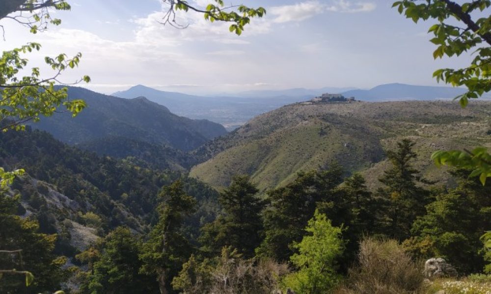
As we climb, on the right (northwest) we can see Templa and Voutsikaki peaks

After about 1 hour we reach Mporlero peak with a view from Mount Olympus to Tzoumerka and Tymfristos mountains. We can also see the imposing peaks and ridges of Agrafa near us.