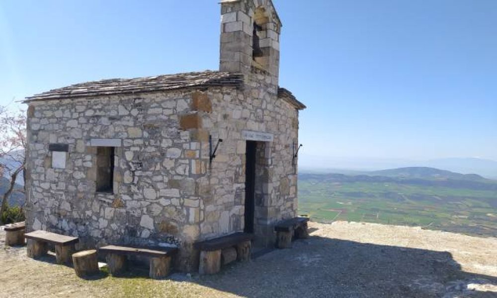
- Starting point: Mpafi Shelter 1,160m
- Finish: Flambouri Shelter 1,158m
- Distance: 7.8 km
- Elevation gain: 740m
- Elevation loss: 740m
- Time: 4 hours
- Marking: fairly good (red – white markings)
Route Description
The hike starts from Mpafi shelter in Parnitha mountain at an altitude of 1,160m. The refuge is 38 km from Athens and about 1 hour by car.
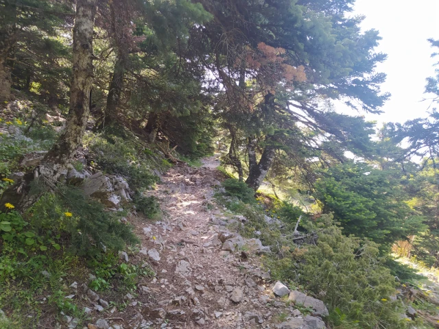
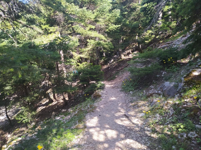
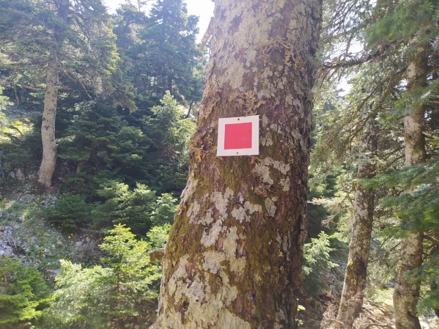
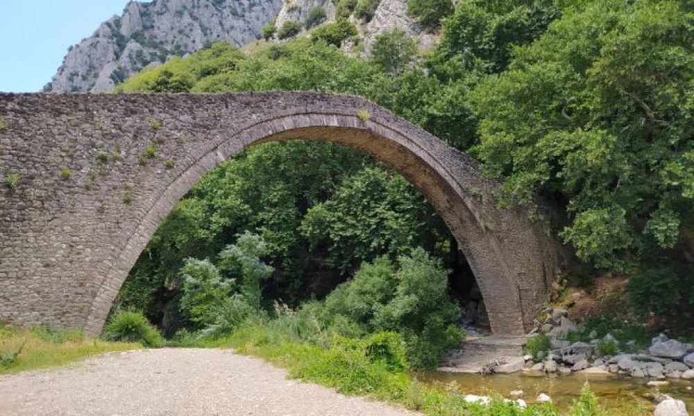
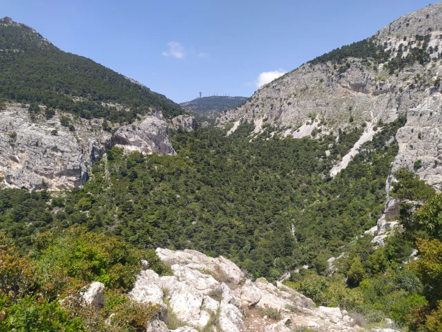
Following the markings from the back yard of Mpafi shelter we hike inside the Chouni gorge. The marking is very good and the trail well maintained. Care should be taken to protect yourself from the sun as most of the hike is in low vegetation and very little in the forest.
During the descent, on our left we see Mpafi shelter.
After 5 km and at an altitude of 530m, as soon as we reach the first houses we turn left and start the ascent to Flambouri hill.
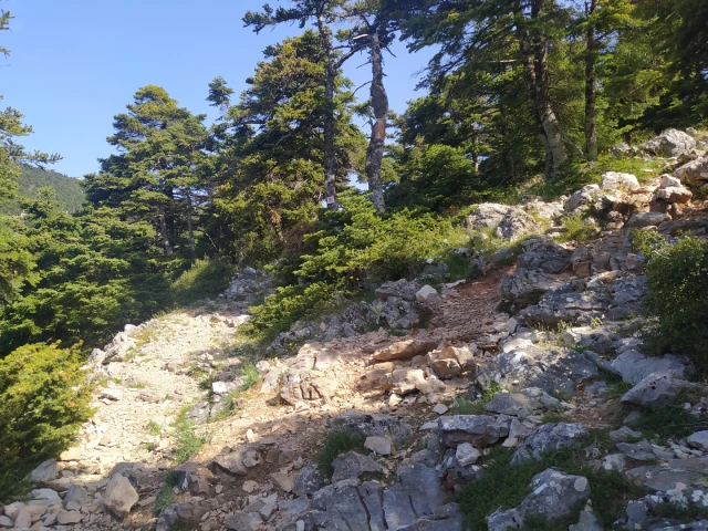
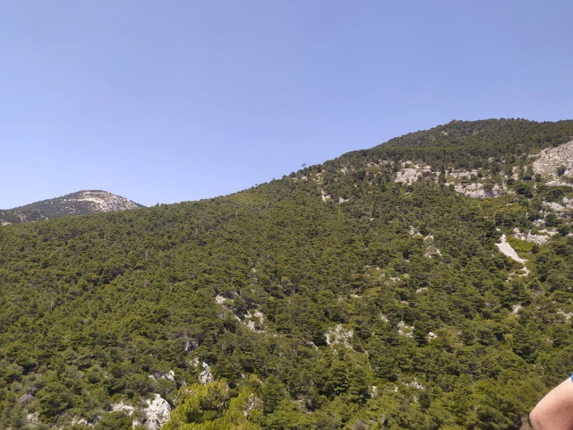
For the ascent we will have to equip ourselves with great patience as for 2.5km and in difficult terrain we will ascent approximately 600m in altitude to the Flambouri shelter.
During the climb we will follow either the red or the blue paint that is painted on the rocks.
In several points special attention is needed as we will have to climb.
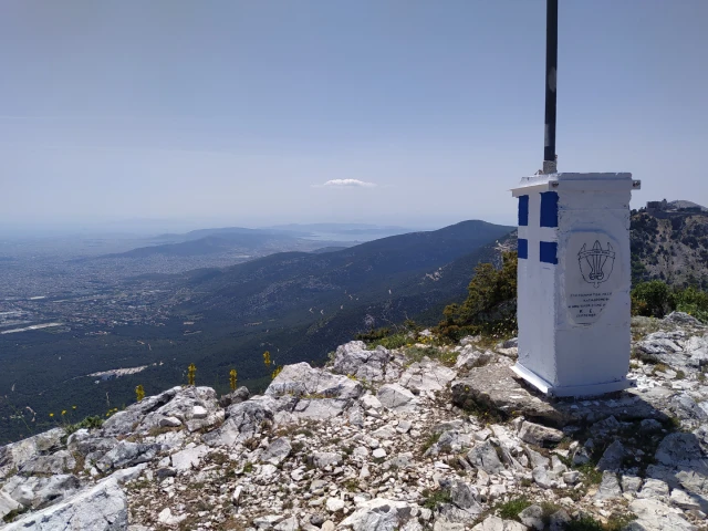
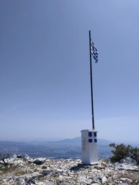
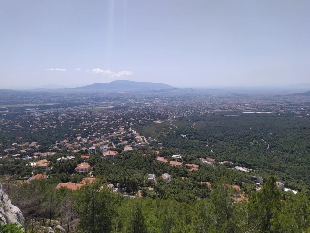
Throughout the ascent we can stop and enjoy the view towards the Attica basin and the Chouni gorge where we can see the Mpafi refuge.
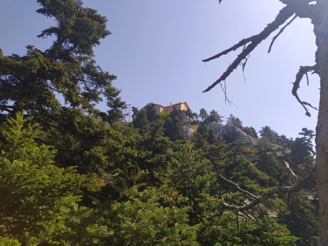
After a 1.5km ascent we reach Flambouraki peak with the characteristic flag. From this point to the Flambouri refuge, the slope is gentle, where we reach after 1km of hiking.