Petrokerasa Thessaloniki - Profitis Ilias
- Starting point: Makrokopana Spring Petrokerasa 850m
- Finish: Makrokopana Spring Petrokerasa 850m
- Kilometer distance: 5km
- Elevation gain: 250m
- Altitude loss: 250m
- Walking hours: 1 hour and 30 minutes
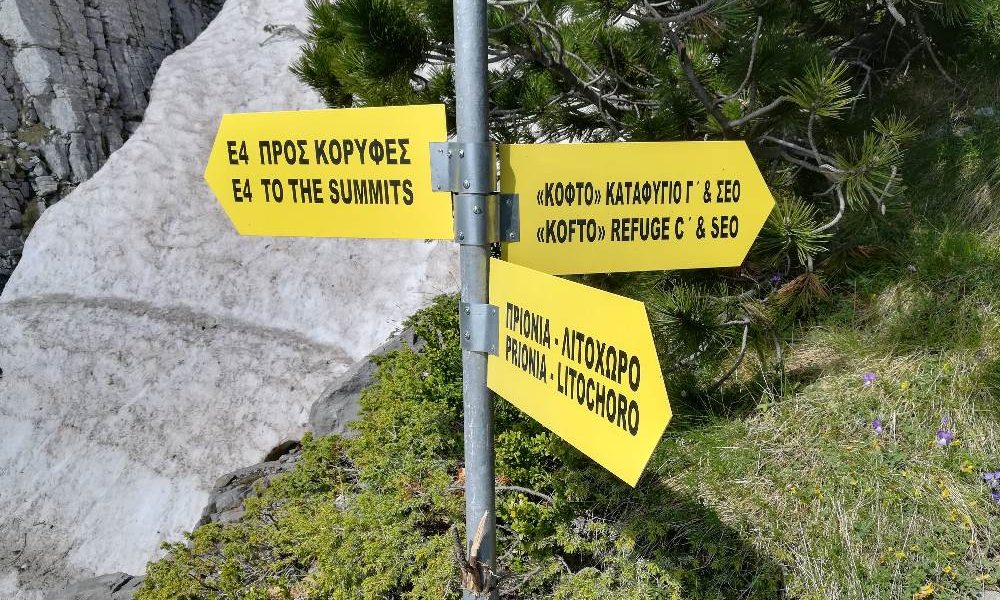
- Marking: Pretty good (Green – White plates)
Route Description
Petrokerasa is located in the southern part of Thessaloniki at the northeastern of the Chortiatis – Holomontas mountain range below the peak called Ombrianos. The village is 60km away from Thessaloniki and about an hour by car.
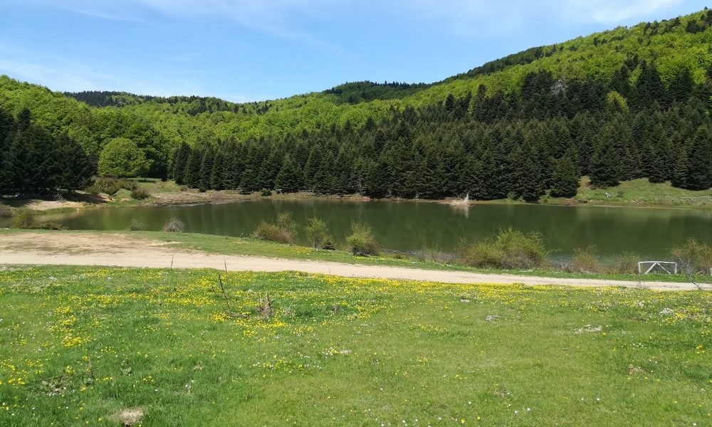
The forest of Petrokerasa occupies almost the largest area of Ombrianos with an altitude of 1009m and at the top there is the church of Profitis Ilias. Its lush vegetation is dominated by beeches, oaks and chestnuts and in several places there are facilities for picnics and hiking trails.
Every September, a 15 km trail race is organized by the municipality of Petrokerasa, starting and ending in the central square of the village. Our route follows a part of the race.
Makrokopana spring is located on the road to Livadi at a distance of four kilometers from Petrokerasa. The name came from the long hoe that existed there for watering the animals.
The area is specially designed and suitable for a picnic, as there are tables with benches, barbecue and drinking water.
Starting from Makrokopana, the route takes place in the forest, it is very well marked due to the trail race and moderate difficulty. Hiking a total distance of about 2km we reach the top at an altitude of 1009 meters.
A part of this trail is part of the national hking trail O4 which connects Chortiatis mountain with Paggaio and Rodopi. Once we reach the top we can relax and enjoy the view overlooking Thermaikos bay, Olympus mt, Kissavos, and the valley of Vasilika.
Then follow a south-easterly course we return to the starting point by another path.
Electronic GPX File
You can download all our hiking tracks for 10.00€. See the GPX list by clicking here.
After the extraction you can open it with either the Wikiloc app or Gaia GPS.
Hiking Gear
If you want to learn more about the hiking gear like backpacks, hiking boots, poles, clothes etc click the button below


