Prionia- Spilios Agapitos Refuge- Mouses Plateau (from Kofto)
- Starting point: Prionia 1,138m
- Finish: Muses Plateau 2,689m
- Distance: 8.5km
- Elevation gain: 1,656m
- Altitude loss: 105m
- Hiking hours: 5 hours
- Marking: very good
Route Description
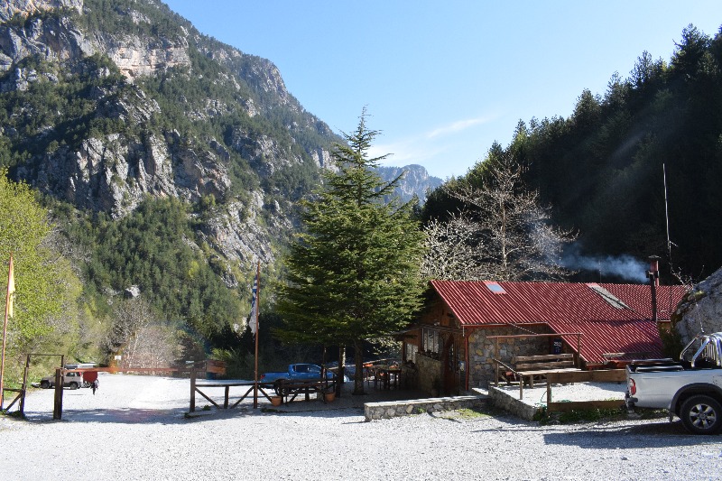
The hike starts from Prionia at an altitude of 1138m and about 19km from Litochoro. In Prionia there is a parking lot however in the summer months and especially on weekends it fills up very quickly. There is also a bar and a tavern.
The route from Prionia to the Spilios Agapitos Refuge is part of the mountain path E4 and is the busiest route on Mount Olympus. Most of the path to the refuge moves in a dense forest of pines, beeches and firs.
Having hiked the first two kilometers, we meet a kiosk where we can rest. A few meters after the kiosk we meet an intersection and a sign that informs us that on the left the path leads to the Livadaki peak. We continue our course right on the main path.
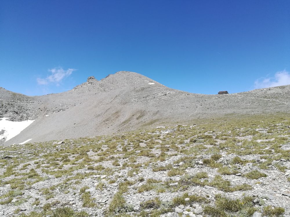
Two kilometers before the refuge we walk out of the forest on an uphill quite demanding with many traverse where after about 45 minutes we reach the Spilios Agapitos Refuge.
After resting we continue the hike to the Muses Plateau from the Cut path. A few meters after the refuge we meet a sign that informs us about the Cut path.
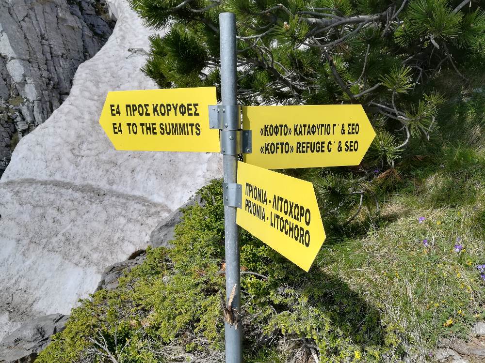
The route from this point requires a lot of attention as the path in many places is not visible as there are only yellow signs. From this point to the Mouses Plateau we have to hike about 2.5 km.
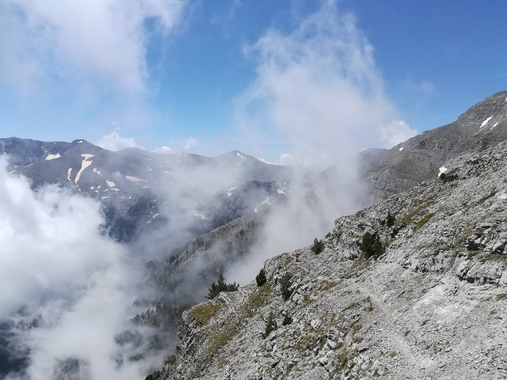

This climbing in many spots requires maximum attention. After passing the difficult part we reach the Muses Plateau where there are the refuges of Christos Kakkalos and Giosos Apostolidis of SEO Thessaloniki.
Other Information
Refuges