Enipeas Canyon Hike
- Start: Prionia 1,080m
- Finish: Watermill Litochoro 330m
- Distance: 13km
- Elevation gain: 366m
- Elevation loss: 1,116m
- Time: 5 hours
Route Description
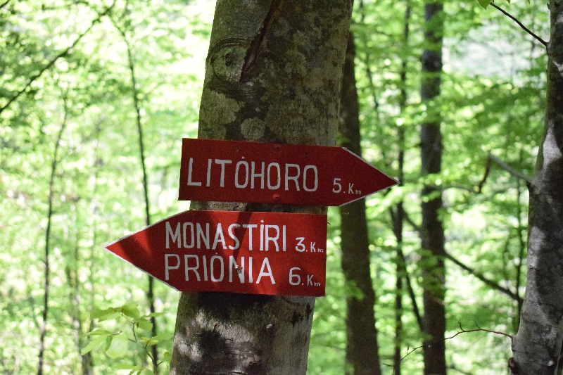
The hike starts from Prionia at an altitude of 1080m and a distance of 15 km from Litochoro.
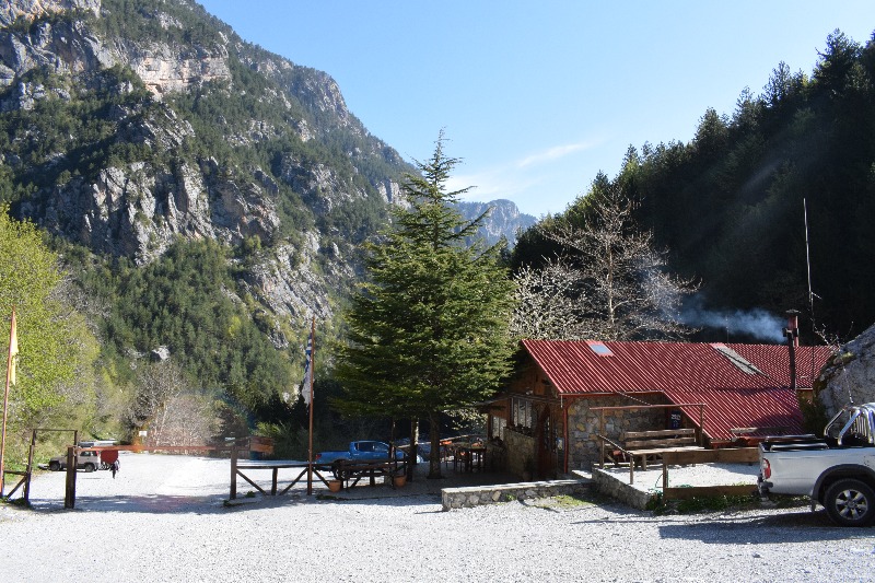
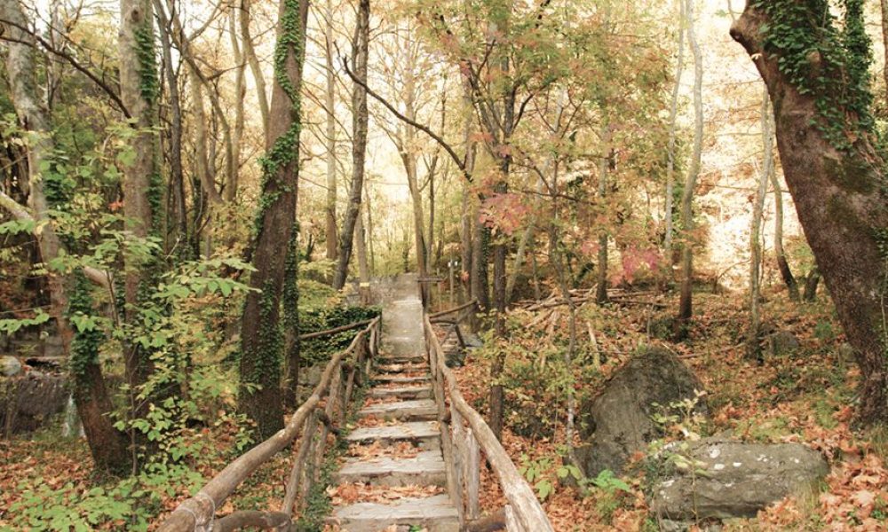
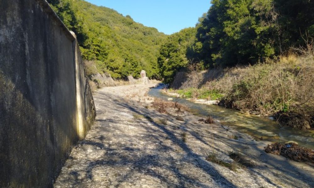
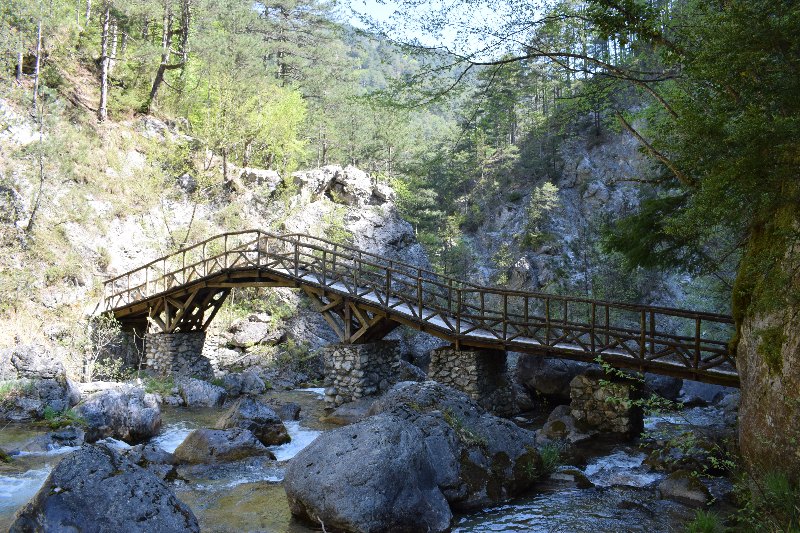
Here there is a large open space used as a parking lot. From the bottom of the parking lot begins the path E4 that heads towards Litochoro, through the Gorge of Enipea. At the beginning of the path characteristic is the wooden bridge that leads the hiker from the opposite bank of the stream.
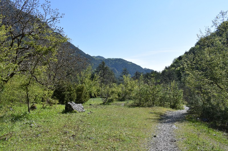
After a few meters, the path that moves in dense beech forest, passes through another bridge, the second of a total of eight wooden bridges for the next six kilometers. Then and after a few meters in the vegetation, the path comes out in a very large clearing, where in the summers a camp is created by campers.
Then the path approaches the old monastery of Agios Dionysios and another bridge passes the path again from the other bank of Enipea.
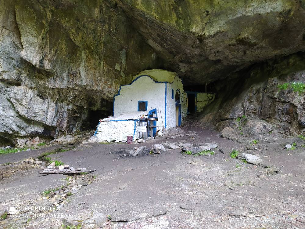
A little further, the path passes through the cave of Saint Dionysios in Olympus where a small chapel is built on the rock.
To the left of the cave the path descends steeply and after a short time we meet another wooden bridge.
During the hike we also find many signs informing us about the mileage from Litochoro and Prionia.
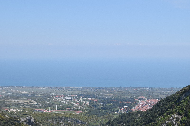
After a few kilometers you can see in the distance Litochoro where from this point up to Watermill in Litochoro we are about an hour away hiking, where it is the end point of our hike in the Enipeas Canyon.