Panorama – Chortiatis Roman Aqueduct
- Starting point: Platanakia Panorama 279m
- Finish: Platanakia Panorama 279m
- Kilometer distance: 8.5km
- Elevation gain: 360m
- Elevation loss: 360m
- Walking hours: 2.5 hours
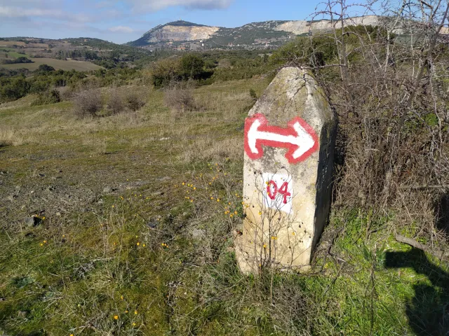
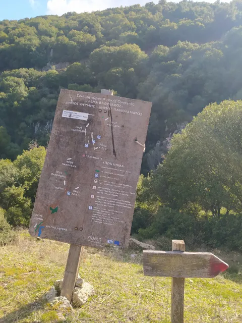
- Marking: Good to quite good (red – white marks) and white ribbons
Route Description
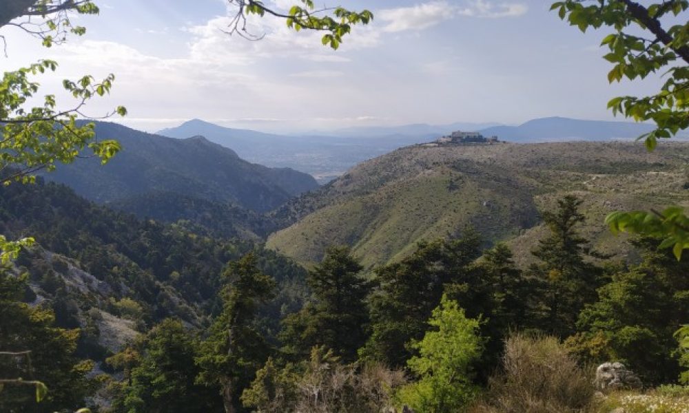
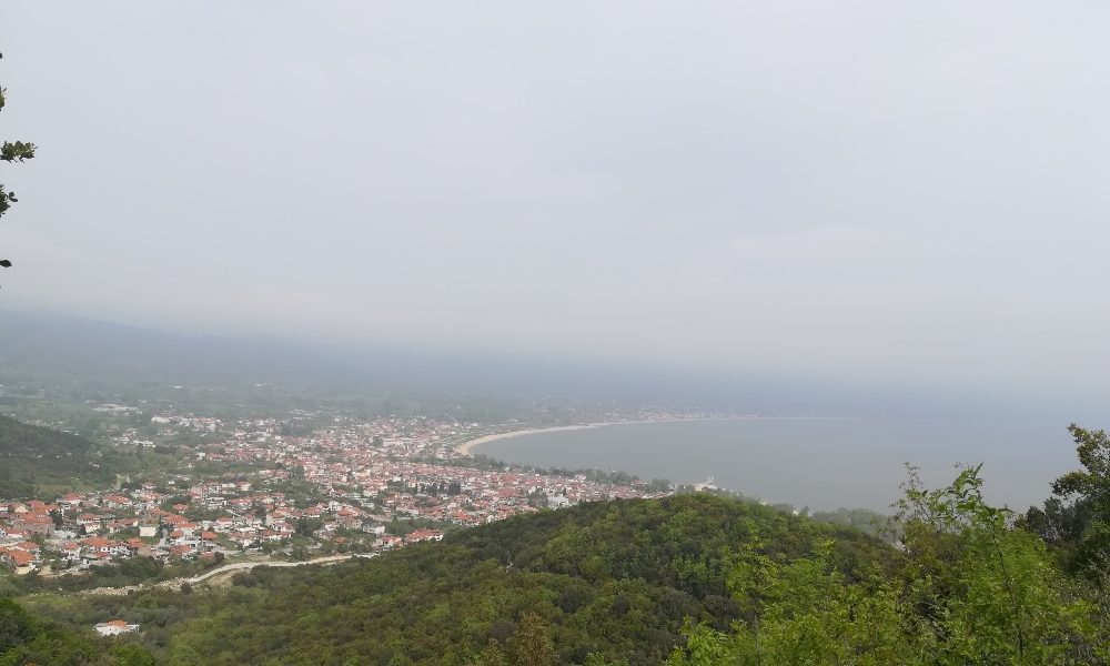
The hike starts from Platanakia Panorama which are 14 km away from Thessaloniki and about 20 minutes by car.
The Chortiatis Roman Aqueduct is located at the entrance of Chortiatis it is 223m long and height 20m. It dates from the 1st century AD and supplied water to Thessaloniki.
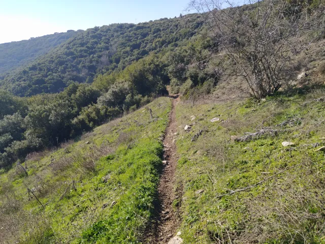
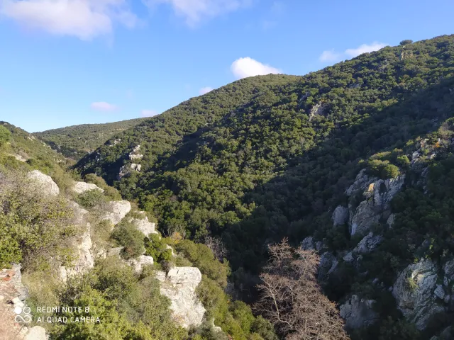
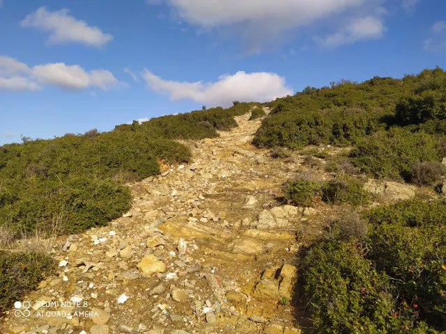
The vegetation is mainly shrubs and in some places there are trees, however the hat and sunscreen are necessary. Caution is also needed as in some places different paths intersect without marking.
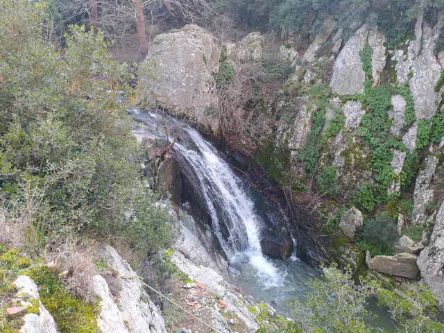
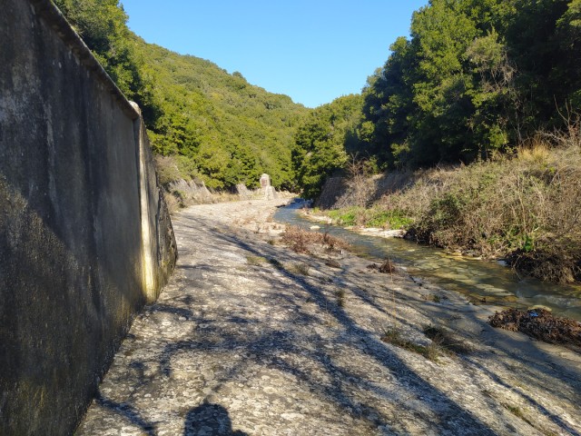
Starting our hike from the plane trees we enter the path and walk parallel to the small river. After a few meters we leave the river and move uphill until we reach the stone structures of the aqueduct and walk parallel to them.
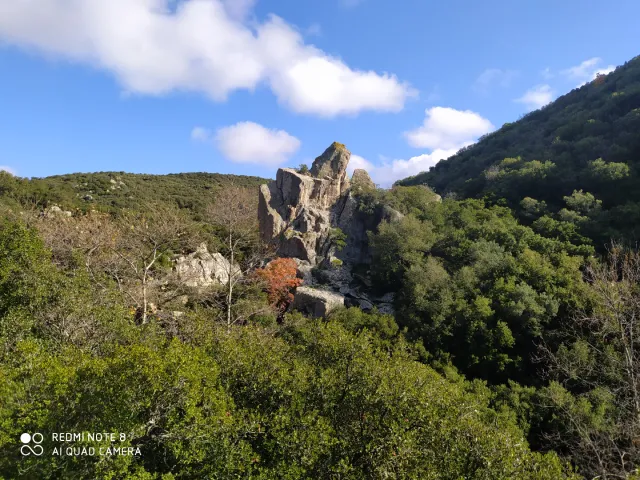
After about 1 and a half km we reach a characteristic rock on which climbing routes have been opened.
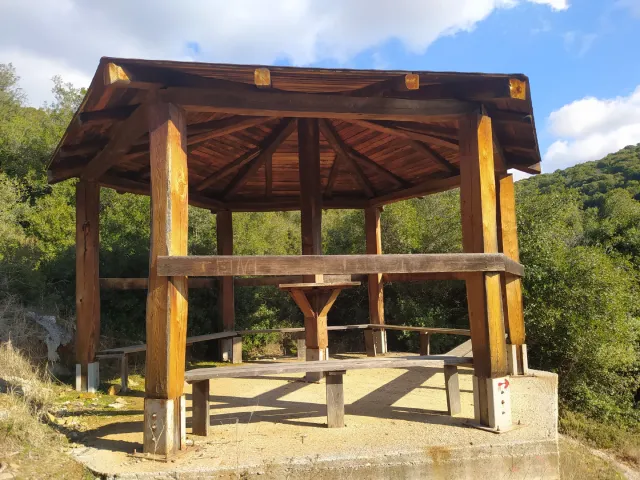
Continuing we reach a kiosk where we can rest fow a while.
Having rested we enter for a few meters on a dirt road and then again on a path until we reach the construction of the French water company dating back to 1917.
We continue on a path until we reach a dirt road with a cattle pen. We pass it on our right and continue following the signs which are part of the national path O4, we reach the Roman aqueduct. Then we return from another route to the kiosk where we take the same path that we climbed initially.