Hiking in Stavros Thessaloniki
- Start: Stavros 10m
- Finish: Stavros 10m
- Distance: 12km
- Elevation gain: 750m
- Elevation loss: 750m
- Hiking time: 3 hours
- Circular path
Route description
The total length of the route is 12 km. Of these: 9 km is a path, 1.1 km is a forest road and 1.9 km is asphalt (15.8%).
The hike starts from the 1st Primary School of Stavros and initially moves on an asphalt surface for 430m. Then we enter an uphill forest road for 1 km and reach the beginning of a marked path, which is a narrow and technical path. After the first 3.5 km of hiking we have reached the area of Sykia Petra with an altitude of 400m.
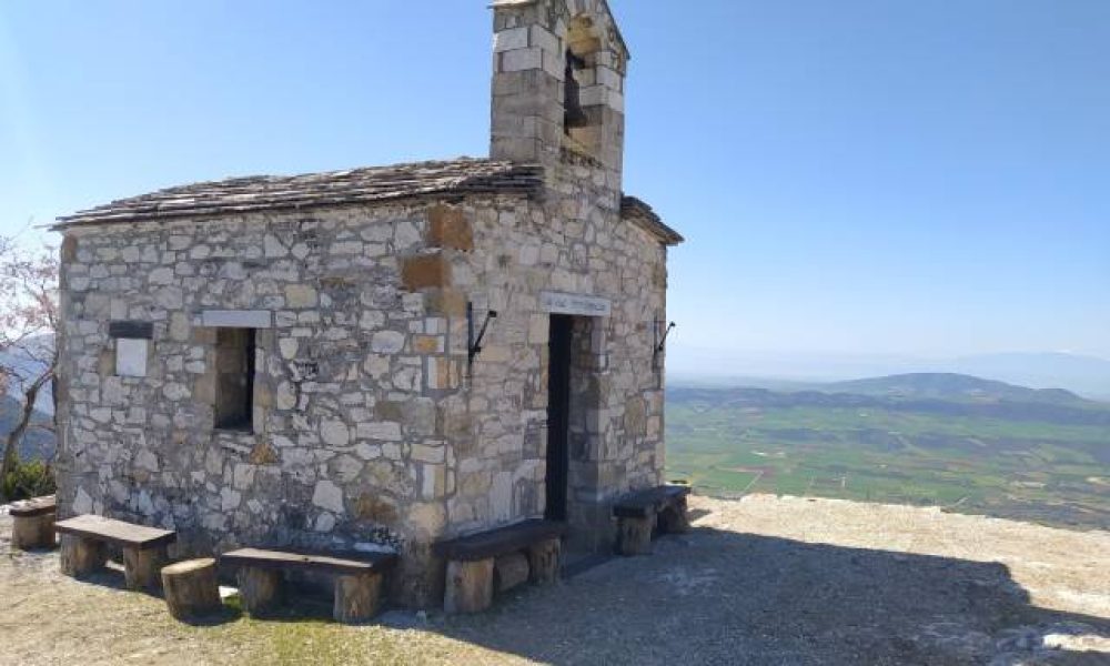
Following the path and after 5.9 km of hiking we reach Profitis Ilias with an altitude of 665m. From this point the path becomes downhill, at first steep but then smoother, and we end up in the area of Paliochora with an altitude of 470m and a total of 8.2 km of hiking.
Then after descending the wooden stairs we reach Ano Stavros, in the area of Agnanti, at an altitude of 90m. Finally, after crossing the village of Ano Stavros we reach the point where we started our ascent and the hiking in Stavros comes to end.
Electronic GPX File
You can download all our hiking tracks for 10.00€. See the GPX list by clicking here.
After the extraction you can open it with either the Wikiloc app or Gaia GPS.