- Starting point: Trikala Pyli 233m
- End: Kamara 247m
- Distance: 6.7 km
- Altitude climb: 815m
- Altitude descent: 771m
- Hiking time: 3 hours
- Marking: quite good
Route Description
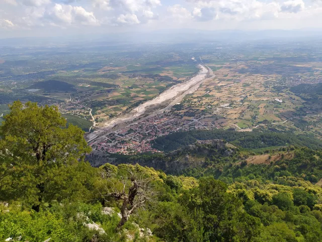
The village of Pyli is located southwest of Trikala at the foot of Mount Itamos and is 20 km from Trikala.
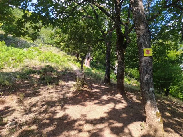
Starting from Pyli, and more specifically from Platanos point, we begin our ascent to the peak of Athinaios of Itamos mt following the A32 path.
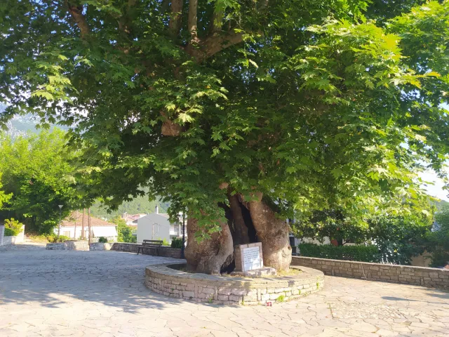
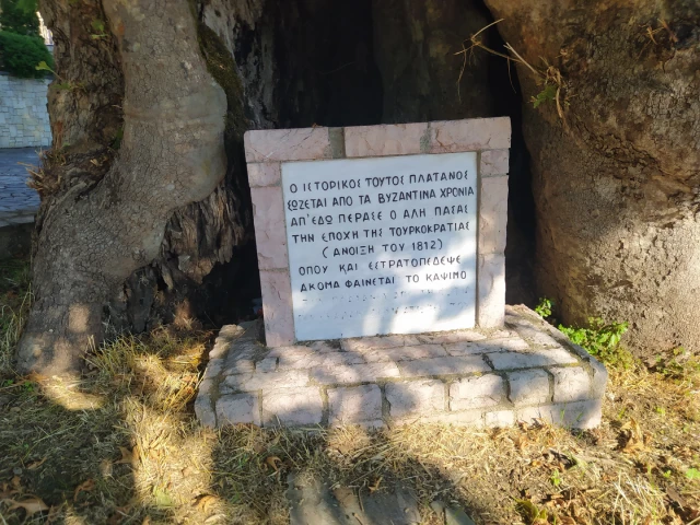
From the photo it can be seen that this historic plane tree has been preserved since the Bychan period and where Ali Pasha camped in the spring of 1812.
Following the A32 path we walk through a magnificent forest of chestnuts, oaks and pines.
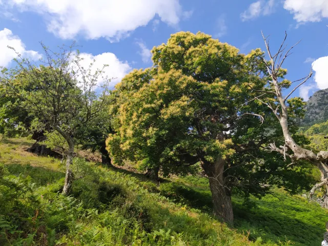
The slope is steeply uphill in several places and requires patience and good physical condition. However, the ascent does not require any technical knowledge as it can be done even by beginners in hiking.
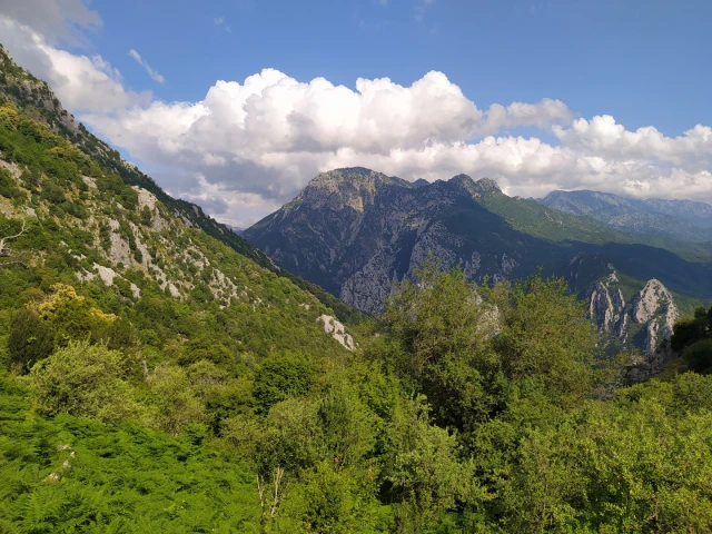
During the ascent, the view compensates us by observing Pyli and the Thessalian plain.
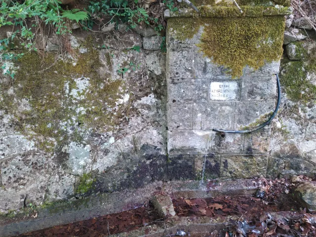
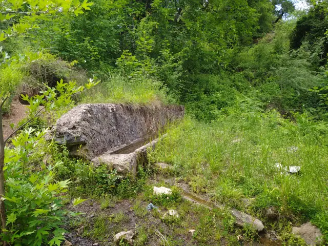
After 2 km of hiking we reach a spring with water where we can rest and quench our thirst.
Leaving behind the spring, we continue the steep uphill where we arrive after 1.3 km and at an altitude of 1050m at a sign that informs us of the route to the Athinaios peak.
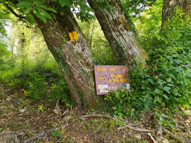
Having made a few meters and since the vegetation has started to thicken and hide the path without any obvious signs of the path to the top, we decided to return to Kamara from the A33 path.
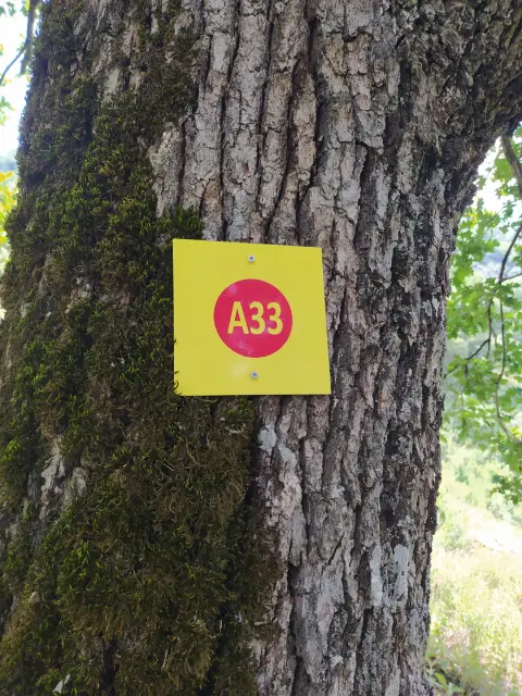
Marking on the A33 is much better than the A32. Following a north-northwest course we reach Kamara after 3km of hiking.
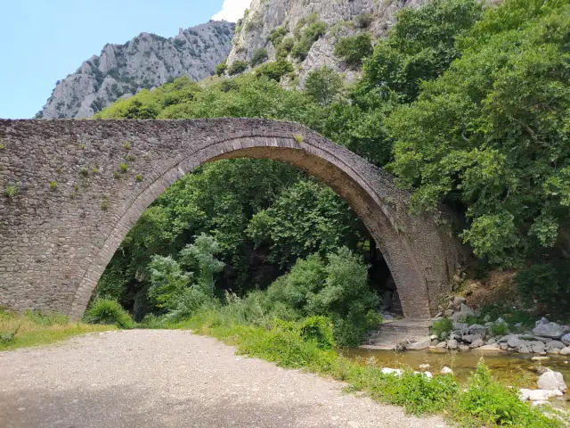
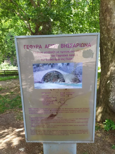
The Kamara or the bridge of St. Bessarion, is single-arched with a semicircular arch and bridges the Portaikos river at the western end of Pyli