Lanari Peak: Route Features
- Starting point: Triadi Lake 220m
- Finish: Lanari Peak 715m
- Kilometer distance: 3.5km
- Elevation gain: 516m
- Elavation loss: 23m
- Walking hours: 1 hour
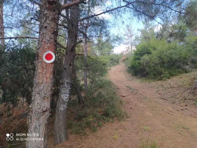
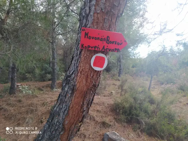
- Marking: Pretty good (red – white marks)
Route Information
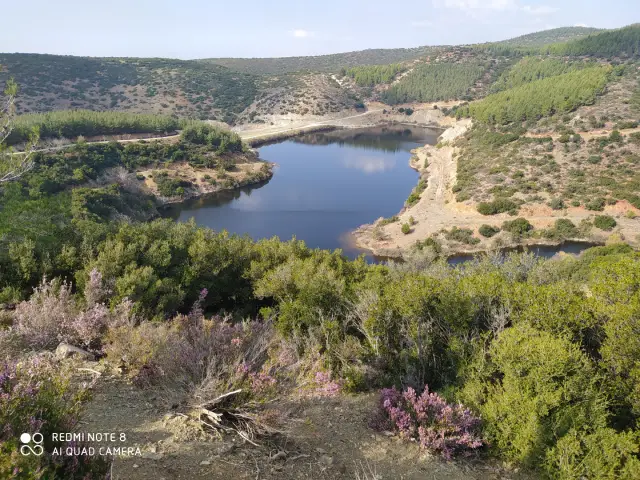
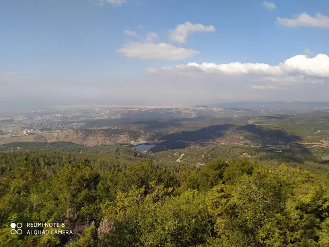
Our hike to the Lanari peak starts from Triadi Lake. The lake is about 12 km from Thessaloniki and from there begin several hiking trails.
For the Lanari peak we follow the dirt road to the right, a few meters before reaching the lake. After walking for about one km on the dirt road we cross the uphill path to our right.
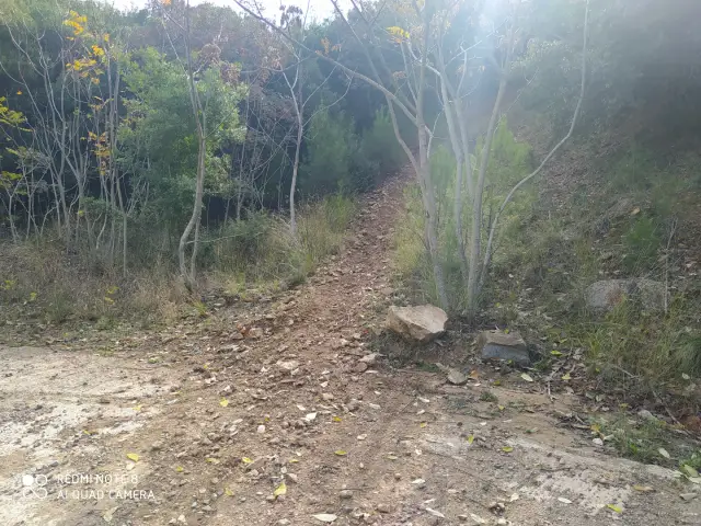
During the ascent we move on a passable path with quite good marking (red – white signs). The vegetation for most of the route is low so a hat and sunscreen are a must.
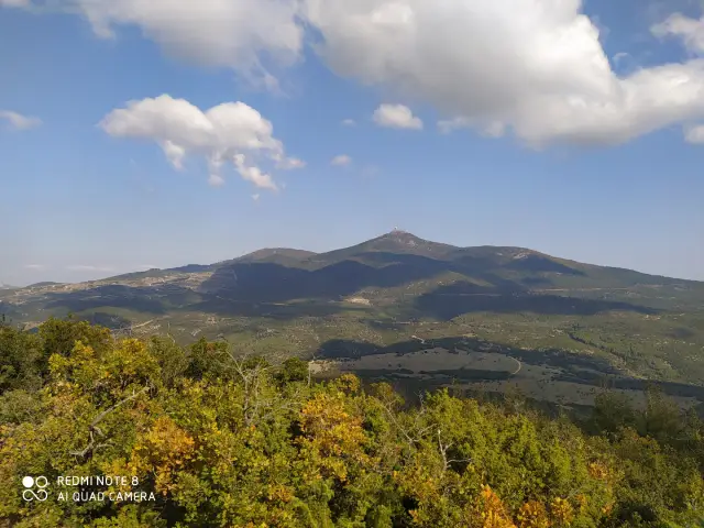
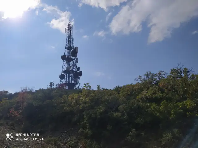
During the hike we can observe the top of Lanaris with the antennas having on our back Thessaloniki, Thermaikos bay and on days with good visibility Olympus mountain.
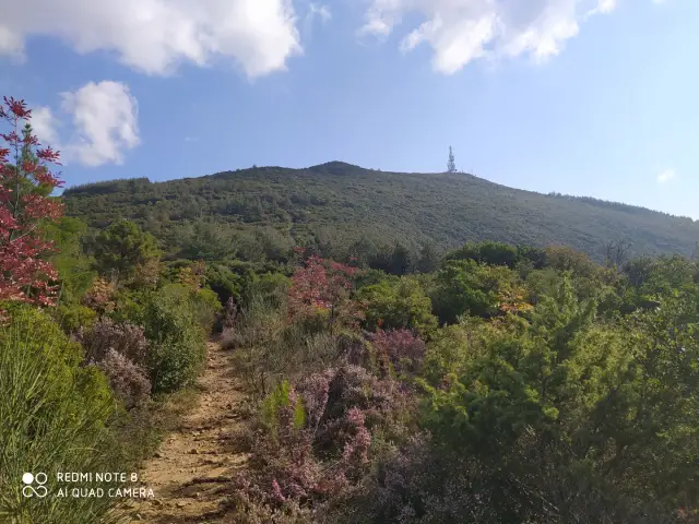
After 2.5 km of demanding ascent we reach the top, facing the top of Chortiatis. From this point we can return back from the same route or go to the ruins of Mersinouda and from there to the lake via Fox Trail.
See our hiking tour in Chortiatis