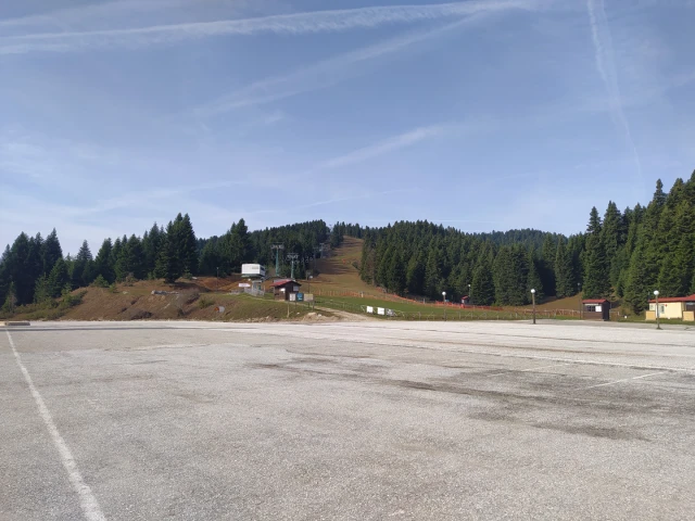
- Start: Pertouli Ski Center 1,171m
- Finish: Pertouli Ski Center 1,171m
- Hiking distance: 9.4km
- Elevation gain: 730m
- Elevation loss: 730m
- Time: 4 hours
- Marking : very good (yellow-black marks)
Route Description
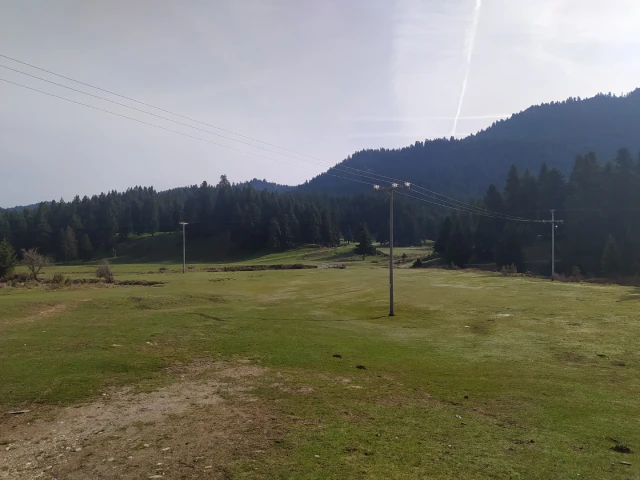
Our hike starts from Pertouli Ski Center at an altitude of 1,171, which is 42km from Trikala (about 45 minutes by car). After leaving our car in the parking lot of the ski center, we head east crossing the meadow and the wooden bridge.
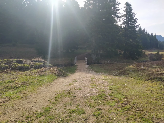
After crossing the bridge, walk right on the dirt road for about 100 meters and then turn left on the path into the forest.
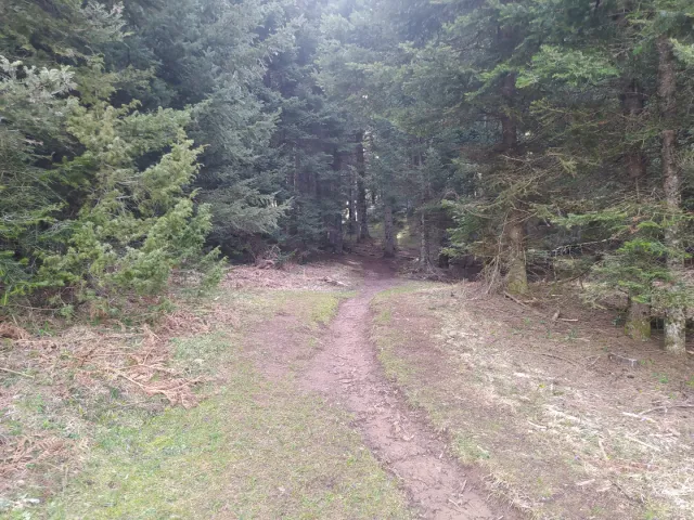
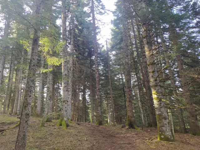
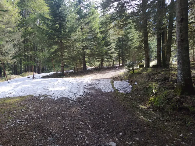
After 200 meters in the forest we meet another road. We turn left and walk on the dirt road for about 600 meters until we meet a sign that informs us the path to the Koziakas refuge.
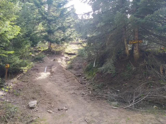
After hikng in the forest for 700 meters following the signs, we turn left. Here we need to be very careful as the path we will take is not visible and the marking is not so good. From this path we reach the refuge faster but it is steeper and needs good physical condition. Alternatively you can continue on the well-marked path.
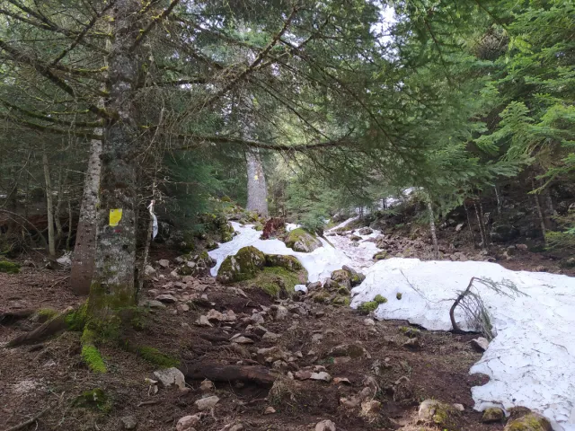
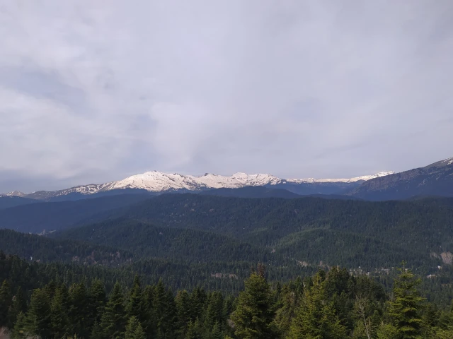
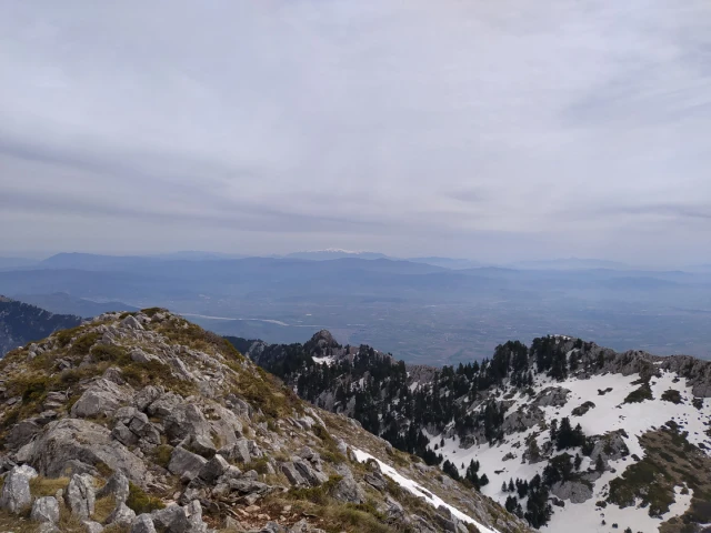
After 500 meters of steep uphill slope we reach a dirt road which we cross and enter again on a path with gentler uphills. During the climb we can make stops and enjoy the peaks of Avgo, Marosa, Triggia and Kakarditsa.
After we return to the dirt road we walk on it and leave a stable on our left. We walk for a few more meters and reach the refuge.
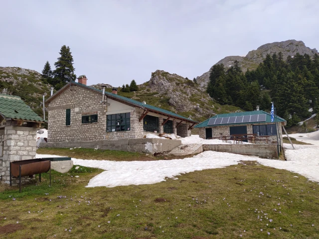
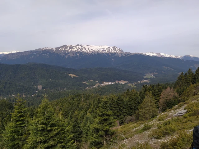
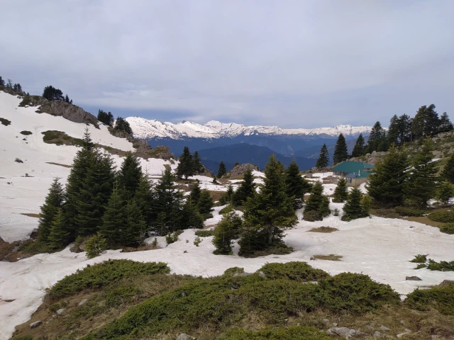
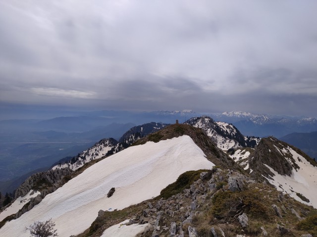
The refuge is located at an altitude of 1,750 meters and can accommodate up to 35 people. From there to the top we will need about 30 to 40 minutes for 600 meters of ascent to the top of Astrapi at 1,901m.
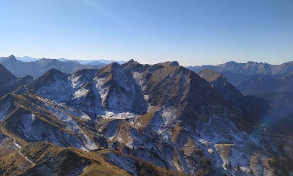
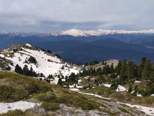
From the top of Astrapi we have a view of Olympus mt, Kissavos, Plastira’s Lake, Agrafa and Tzoumerka.

Then we return to the refuge and from there to the starting point following the well marked path.

See our organized hiking tour to Koziakas Refuge